Travel Guide of Waimea in United States by Influencers and Travelers
Waimea is a census-designated place in Hawaii County, Hawaii, United States. The population was 7,028 at the 2000 census and 9,212 at the 2010 census.
Pictures and Stories of Waimea from Influencers
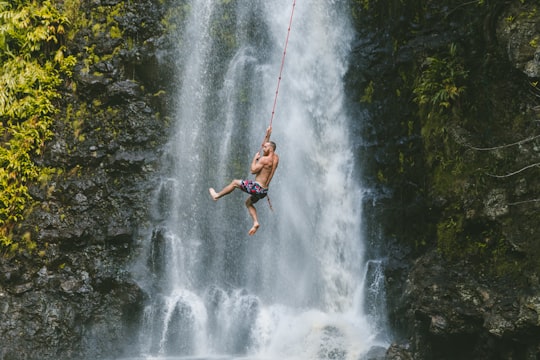
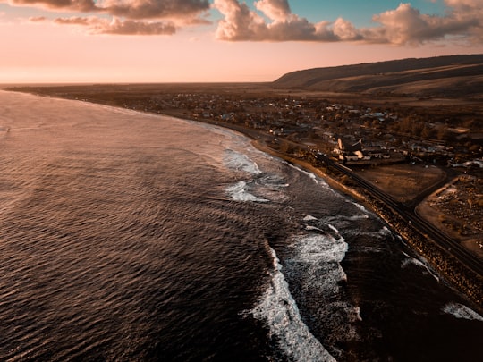
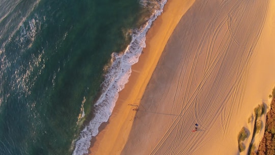
3 pictures of Waimea from Derek Owens, Jordi Bartolome, Jimmy Conover and other travelers
Plan your trip in Waimea with AI 🤖 🗺
Roadtrips.ai is a AI powered trip planner that you can use to generate a customized trip itinerary for any destination in United States in just one clickJust write your activities preferences, budget and number of days travelling and our artificial intelligence will do the rest for you
👉 Use the AI Trip Planner
The Best Things to Do and Visit around Waimea
Disover the best Instagram Spots around Waimea here
1 - Anna Ranch Heritage Center
Anna Ranch Heritage Center is a former cattle ranch in Waimea, Hawaii County, Hawaii named for Anna Leialoha Lindsey Perry-Fiske.
View on Google Maps Book this experience
2 - Kohala Mountain Road
Kohala Mountain Road, designated Route 250, travels upon the Kohala mountain on the island of Hawaiʻi in Hawaii County, Hawaii, United States.
View on Google Maps Book this experience
3 - Scuba Diving in Island of Hawai'i
17 km away
Kohala Divers professional dive guides take you at a relaxed pace so you can fully enjoy the underwater scenery while respectfully interacting with marine creatures of the Island of Hawai'i, also known as the Big Island. The scuba diving cruises...
Learn more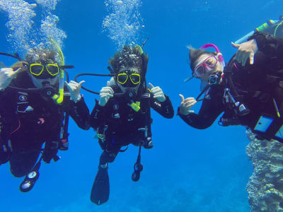
4 - Kohala
9 km away
Kohala is the oldest of five volcanoes that make up the island of Hawaii. Kohala is an estimated one million years old—so old that it experienced, and recorded, the reversal of earth's magnetic field 780,000 years ago.
View on Google Maps Book this experience
5 - Waipio Valley
14 km away
Waipiʻo Valley is a valley located in the Hamakua District of the Big Island of Hawaiʻi. "Waipiʻo" means "curved water" in the Hawaiian language.
Learn more Book this experience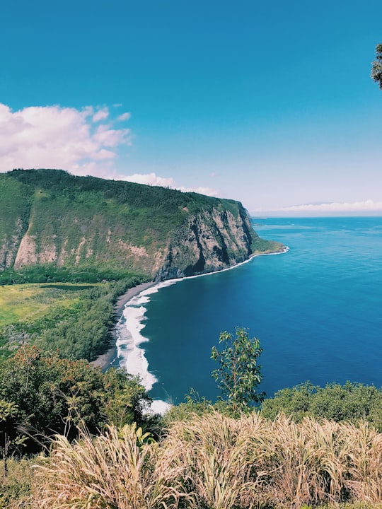

6 - Waikoloa Village
16 km away
Waikōloa Village is a census-designated place in Hawaiʻi County, Hawaii, United States. The population was 6,362 at the 2010 census, up from 4,806 at the 2000 census. The name Waikoloa is used by the local post office.
Learn more
7 - Pololū Valley
17 km away
Pololū is the northernmost of a series of erosional valleys forming the east coast of Kohala Mountain on the Island of Hawaiʻi. The word pololū means "long spear" in the Hawaiian language.
View on Google Maps Book this experience
8 - Lapakahi State Historical Park
30 km away
Lapakahi State Historical Park is a large area of ruins from an Ancient Hawaiian fishing village in the North Kohala District on the Big Island of Hawaiʻi. Offshore is the Lapakahi Marine Life Conservation District.
View on Google Maps Book this experience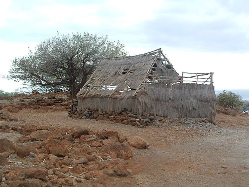
9 - Mauna Kea
30 km away
Mauna Kea is a dormant volcano on the island of Hawaiʻi. Its peak is 4,207.3 m above sea level, making it the highest point in the state of Hawaiʻi and second-highest peak of an island on Earth.
Learn more Book this experience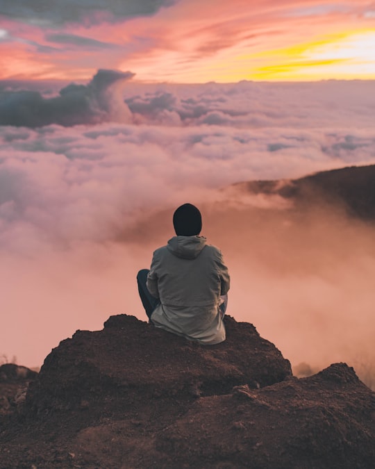

Book Tours and Activities in Waimea
Discover the best tours and activities around Waimea, United States and book your travel experience today with our booking partners
Where to Stay near Waimea
Discover the best hotels around Waimea, United States and book your stay today with our booking partner booking.com
More Travel spots to explore around Waimea
Click on the pictures to learn more about the places and to get directions
Discover more travel spots to explore around Waimea
⛰️ Hill spots 🌊 Ocean spots 🏞️ Waterfall spots 🏖️ Coast spots Extreme sport spots Air sports spots ⛰️ Mountain range spots 🌲 Nature reserve spots 🏖️ Shore spots ⛰️ Hill station spots 🏖️ Bay spots 🏖️ Beach spotsTravel map of Waimea
Explore popular touristic places around Waimea
